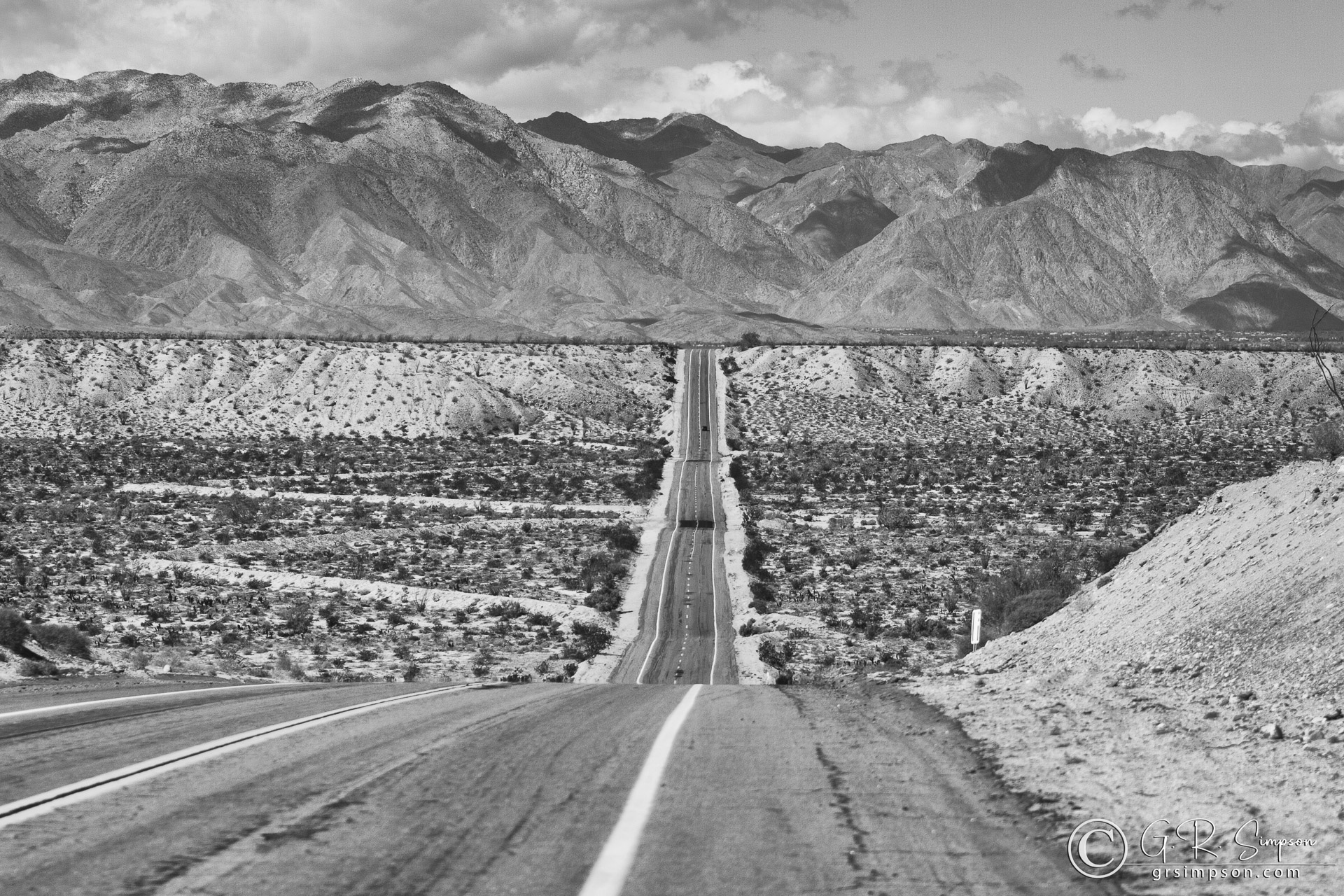
Just northwest of the junction of California State Highway 78 and Borrego Springs Road lies the Texas Dip, a mile long stretch of blacktop running straight as an arrow through the San Felipe Wash (and across the San Felipe earthquake fault zone that lies beneath) towards the town of Borrego Springs and its western boundary, the San Ysidro Mountains.

